Six Questions That Tell the PIX4D Story Better Than Any Pitch


Some companies get asked to explain themselves in an elevator pitch, thirty seconds, a tagline, a single sentence that is supposed to capture everything. That format rarely does justice to a company that has spent close to two decades building the infrastructure other industries now depend on. PIX4D is one of those companies. Its story is easier to tell through six honest questions than through any pitch deck, so that is exactly how Gabriella Vroom, Content Marketing Specialist at PIX4D, chose to tell it.
What follows is that story, in her words.
Why: Turning Images Into Trust
Every company has an origin point, a moment when a problem looked solvable in a way it hadn't before. For PIX4D, that moment came from a mission to turn images into reliable, survey-grade data for professionals who could not afford to guess.
"As we have grown, our purpose has naturally expanded. We believe accurate spatial data is no longer just about mapping land. It's about protecting resources, whether that means food production or the foundational assets that improve everyday lives.", Gabriella says.
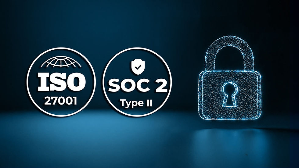
That expansion did not come at the cost of rigor. PIX4D built its reputation on trust that customers could verify. They are a Swiss company backed by ISO 27001 certification and SOC 2 Type II compliance, with localized data hubs that keep client workflows secure, compliant, and close to home. Underpinning all of it is an integrated, end to end workflow that runs from terrestrial capture through desktop processing to the cloud, now including georeferenced Gaussian splatting.
For an industry where a single inaccurate measurement can cascade into real financial or safety consequences, the trust PIX4D has acquired is the proposition they are pitching.
What: Bridging the Physical and the Digital
Ask PIX4D what it actually does and the answer resists the usual industry jargon. The company develops software and applications that let professionals capture, process, and analyze data from drones and handheld devices, converting all of it into highly accurate, measurable 2D maps and 3D models.
"Whether the goal is tracking environmental changes, optimizing crop yields, or auditing the vital networks that communities rely on daily, we bridge the gap between the physical and digital worlds," Gabriella explains. That phrase, bridging the physical and digital worlds, is doing a lot of work. It covers a farmer trying to understand yield variation across a field, a surveyor documenting a construction site, and a utility team auditing infrastructure that keeps the lights on. Different customers, different stakes, same underlying need for data they can trust and act on.
Their goal to improve the quality of living with secure and actionable data is a broader ambition than most software companies claim, but PIX4D's product ecosystem is built specifically to support this goal across use cases that otherwise have little in common.
How: Field to Office, Without the Gaps
If the why explains PIX4D's purpose, the how reflects its engineering philosophy. What sets the company apart is its ability to combine a strong research and development foundation with its roots as an academic pioneer, driving continuous scientific innovation. At the core of this approach is a longstanding commitment to data accuracy.
That commitment shows up in how the product suite is structured. Rather than building isolated tools, PIX4D builds software and applications that support complete workflows, from data capture in the field to processing, analysis, and collaboration. In surveying, construction, and infrastructure work, that means synchronizing field to office workflows so nothing gets lost in translation between the two.
PIX4Dcatch turns an ordinary smartphone into a hardware agnostic ground scanner, a shift that has been shown to cut rebar and asset inspection times by more than 50 percent and save up to 850 hours on major infrastructure projects. That captured data feeds directly into PIX4Dmatic for heavy duty desktop processing or into PIX4Dcloud for cloud based enterprise collaboration, depending on what the team needs.
Agriculture presents a different constraint entirely, one where internet connectivity often cannot be assumed. PIX4D addresses that with PIX4Dfields, a platform optimized to process multispectral data instantly at the field's edge. In practice, that capability has been shown to save 2,000 USD in a single spot spray decision, the kind of result that turns a software feature into a line item a farm operator actually notices.
Who: The People Responsible for What Matters
PIX4D's customers share a common thread even when their industries look nothing alike. Their customers are the professionals and organizations responsible for building, operating, and maintaining critical infrastructure, from enterprise operations leaders and geographic information system (GIS) teams to the surveyors and engineers doing the work in the field.
PIX4D’s users share a common mission, that is, capturing accurate geospatial data to keep essential assets safe, efficient, and operational. That mission cuts across sectors. A GIS team monitoring municipal utilities and a surveyor documenting a construction site are solving different problems day to day, but both are ultimately trying to answer the same question, whether the physical world matches what the data says it should.
Where: At the Intersection of Data and Decisions

PIX4D's impact does not sit in one industry or one geography. It stretches from rural agricultural fields and environmental conservation zones to active construction sites and the utility grids that keep entire cities running.
"We matter most at the intersection of data collection and decision-making," Gabriella says, "providing accurate data for routine land surveys, seasonal resource assessments, and the ongoing monitoring of infrastructure that keeps society moving forward." That intersection is a deliberately broad place to operate, but it is also the only place that makes sense for a company whose product is trustworthy data rather than a single application.
It also explains why PIX4D shows up as infrastructure behind other companies' products, not only as a standalone tool. The company's technology is built to plug into wherever a decision is being made, whether that decision belongs to a PIX4D customer directly or to a partner building on top of the platform.
When: When Disconnected Workflows Stop Scaling

Every company solves a problem that becomes unavoidable at a certain point of growth. For PIX4D's customers, that point arrives when managing critical assets becomes too complex for disconnected workflows to handle. As operations scale, they need accurate geospatial data that can be captured consistently across field teams, processed efficiently, and shared seamlessly across the organization. That is precisely the gap PIX4D was built to close, and the company's partnership with geospatial solutions leader Firmatek shows what closing it looks like in practice.
Firmatek integrated the PIX4Dengine SDK directly into its own cloud pipeline, embedding PIX4D's automated photogrammetry engine into a platform built to process massive volumes of drone data for mining, aggregates, and construction sites. The result was a cut in photogrammetry operational costs of more than 40 percent, alongside the ability to scale compute resources on demand and accelerate turnaround times with fewer errors for Firmatek's own clients.
Moving Forward: Reliability and Relationships
As Gabriella puts it, "our ecosystem enables organizations to standardize these workflows while our specialized technical experts support deployment, onboarding, and long-term operational success.". It is a reminder that PIX4D's role often extends past the software itself, into the relationship that makes adopting new workflows possible in the first place.
Six questions, one company, and a pattern that holds together from the first answer to the last. PIX4D was built to be the geospatial technology professionals trust when accuracy is the only thing that matters.